Spain is in the south-west of Europe, on the Iberian Peninsula, and it is one of the largest countries in the European Union. The geography questions ask where things are: neighbouring countries, the highest mountain, the longest river, the islands.
Keep a map open while you read and find every place on it. It makes the answers much easier to remember.
Part 1 of 4
Position, borders and size
Spain shares the Iberian Peninsula with Portugal. Andorra, a small country in the Pyrenees, lies between Spain and France.
Spain borders Portugal to the west, France and Andorra to the north-east and, in the south, Morocco (through Ceuta and Melilla) and Gibraltar (a British territory).
The Atlantic Ocean is to the west and north-west, the Cantabrian Sea to the north and the Mediterranean Sea to the east and south. The Strait of Gibraltar joins the Atlantic and the Mediterranean and is only about 14 kilometres wide.
Spain covers about 506,000 square kilometres (including the islands) and has around 48 million inhabitants. It is the fourth largest country in the European Union by population.
The capital, Madrid, is in the centre of the peninsula. The largest cities are Madrid, Barcelona, Valencia and Sevilla.
Key words you will meet in the questions
península ibérica
the Iberian Peninsula
frontera
border
Estrecho de Gibraltar
the Strait of Gibraltar
Mar Mediterráneo
the Mediterranean Sea
Océano Atlántico
the Atlantic Ocean
Part 2 of 4
Mountains and highest peaks
Spain is a mountainous country. The centre is a high plateau, the Meseta, surrounded by mountain ranges.
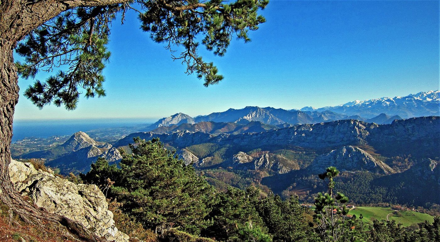
The Pyrenees (Pirineos) form the border with France. The Cantabrian Mountains (Cordillera Cantábrica) run along the north coast and include the Picos de Europa.
The Sistema Central crosses the Meseta; the Sierra Morena and the Sierra Nevada are in the south. The Sierra Nevada has the highest peak of the peninsula, Mulhacén (3,479 m).
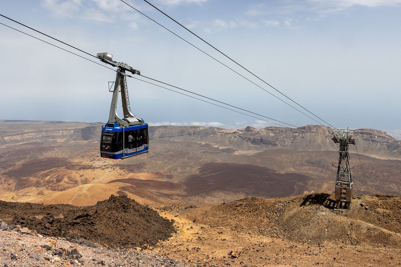
The highest mountain in all of Spain is the Teide volcano, on the island of Tenerife, in the Canary Islands, with 3,718 metres.
The Meseta Central is a large high plain in the heart of the country with a dry climate; Madrid stands on it, at about 650 metres above sea level.
Exam tip: Teide (Tenerife, 3,718 m) is the highest in Spain; Mulhacén is the highest on the peninsula.
Key words you will meet in the questions
montaña
mountain
Pirineos
the Pyrenees
Sierra Nevada
mountain range in Andalucía
Teide
the highest mountain in Spain
meseta
plateau
Part 3 of 4
Rivers
Most of the great rivers of Spain flow west to the Atlantic Ocean; some flow into the Mediterranean.
The Tajo (Tagus) is the longest river of the Iberian Peninsula, with about 1,000 kilometres in Spain. It passes through Toledo and enters the sea at Lisbon, in Portugal.
The Ebro is the river with the most water, and the longest that flows only in Spain; it passes through Zaragoza and enters the Mediterranean in Cataluña.
The Duero (Douro) crosses Castilla y León, the Guadiana crosses Extremadura and the Guadalquivir crosses Andalucía and Sevilla and is the main river of the south.
The name Guadalquivir comes from the Arabic al-wadi al-kabir, “the great river”.
Key words you will meet in the questions
río
river
Tajo
Tagus (the longest river on the peninsula)
Ebro
Ebro river
Guadalquivir
the main river of Andalucía
Part 4 of 4
Islands and climate
Spain has two island groups, the Balearic Islands in the Mediterranean and the Canary Islands in the Atlantic, and several climates.
The Balearic Islands (Islas Baleares) are Mallorca, Menorca, Ibiza and Formentera. Their capital is Palma de Mallorca.
The Canary Islands (Islas Canarias) lie in the Atlantic Ocean, close to the coast of Africa: Tenerife, Gran Canaria, Lanzarote, Fuerteventura, La Palma, La Gomera and El Hierro. They are of volcanic origin and their capitals are Santa Cruz de Tenerife and Las Palmas de Gran Canaria.
The Mediterranean climate (mild winters, hot dry summers) is the most common, on the east and south coasts. The interior has a continental climate, with cold winters and very hot summers.
The north and north-west (Galicia, Asturias, the Basque Country) have an oceanic climate, with rain all year and green landscapes. The Canary Islands have a subtropical climate, mild all year.
Key words you will meet in the questions
isla
island
Islas Baleares
Balearic Islands
Islas Canarias
Canary Islands
clima
climate
volcán
volcano
Remember for the exam
Spain is in south-west Europe; neighbours: Portugal, France, Andorra, Morocco (Ceuta and Melilla) and Gibraltar.
Seas: Atlantic and Mediterranean; the Strait of Gibraltar joins them.
Highest mountain: Teide (3,718 m, Tenerife); highest on the peninsula: Mulhacén (Sierra Nevada).
Longest river: the Tajo; the river with most water: the Ebro; main river of the south: the Guadalquivir.
Islands: Balearic (Mediterranean) and Canary (Atlantic). Climates: Mediterranean, continental, oceanic.
Now practise this topic
Reading is the first step. Questions show you what you already know.
Study the questions on this topic
Every question of the bank on this topic, with its answer. Check yourself and mark what you do not know yet.